|
|||||||||||
Where is Rivers Inlet?
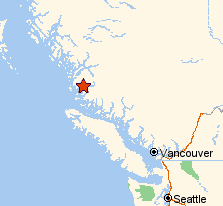
Rivers Inlet is located on the Central Coast of British Columbia. To get there from Vancouver, it is most common to travel by boat from Port Hardy at the north end of Vancouver Island. See the maps below for details.
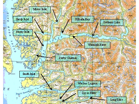
Rivers Inlet is marked by the red star on the above map. (Courtesy Yahoo! Maps). The map to the right shows a more detailed view of Rivers and Smith Inlets, Owikeno Lake, and other local geographical features. |
 |
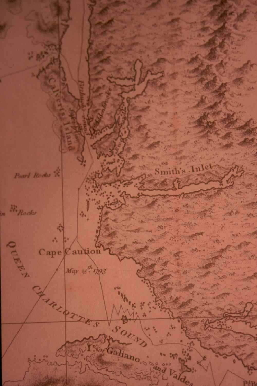
The image below is a reproduction of Vancouver's 1793 map of the district. As you can see, the depiction of the outer part of Rivers Inlet is relatively accurate, but Vancouver failed to note that the inlet continues northward (despite writing in his journal that he had been to its head). He didn't find Owikeno Lake either.